
IRIS Overview
What is IRIS?
Built upon a visually rich platform of intuitive web mapping, IRIS is a web application designed to simultaneously support project management and data management as applied to offshore development projects within the energy and submarine cable sector sectors.
Fully developed and maintained by Vysus Group’s Survey & Engineering Division, IRIS is typically used where offshore surveys, site investigations, installations operations and subsea inspections are undertaken throughout the life of an offshore development or asset.
The following project types are supported by IRIS:
- Offshore wind farms and export cable developments
- Submarine interconnector and fibreoptic cable installations
- Oil and gas field developments
- Subsea inspection, operations & maintenance
- Offshore construction actvities
- Drillship, semi submersible and jack up positioning QC
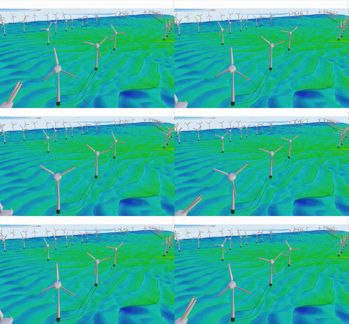
The overriding objective of IRIS is to ensure that the value of expensively acquired information, survey and inspection data and operational lessons learnt is fully maximized and never lost.
IRIS allows a Project Manager to achieve the closest visibility to the progress and status of an offshore operation or activity, to assess performance and to inform future projects or similar activities.
Through the life of an asset, from the initial seabed survey through subsequent installation, commissioning, operations and final decommissioning, a wealth of data and information is acquired by survey or is otherwise available. IRIS provides automated pathways to efficiently store this valuable data and information at source, directly to a secure cloud, ensuring it is forever readily accessible to intuitively support future assessment, interpretation and analysis, either within IRIS itself or third-party applications.
With this information users can assess the performance of deployed vessels, vehicles and survey equipment, assess the conditions of the seabed and determine and visualise risk as applied to as-installed cables or pipelines. In the event of arising faults or reported exposure or damage to the asset, all available data accumulated over time is immediately available to support the assessment of the issue and any related intervention.
The IRIS website consists of a number of Modules and Dashboards that allow users to navigate through various web maps, data and project information and to access the features and functionality linked to their user credentials.