
Map Data Module
Data Module
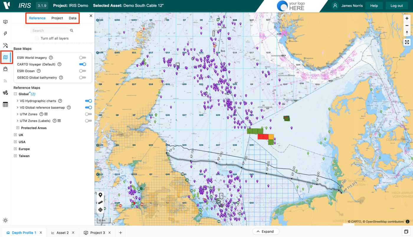
The Data module provides a focussed way to view and configure map layers. Unlike the Activities Module module where layers are organised by Activity and other related documentation can be accessed, the Data module organizes map layers by data type.
The layers are organised into three tabs:
Reference- This holds standard regional datasets and basemap layers used across all projects.Project- This includes reference layers related to the project includingAssetsand other area designations.Data- This holds any resulting data from offshoreActivitiesincluding bathymetry and seabed features.
Layer Functions
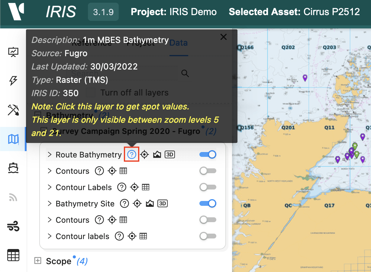
For each layer there is an on/off toggle and expanding the layer reveals a transparency adjustment slider and a layer legend. Additionally, there are a number of available buttons depending on layer type. These include:
- An
Informationbutton which includes data type, source, description and when the layer was last updated.
- A
Zoom to layer boundsbutton which zooms the map to the full extent of a layer.

- A
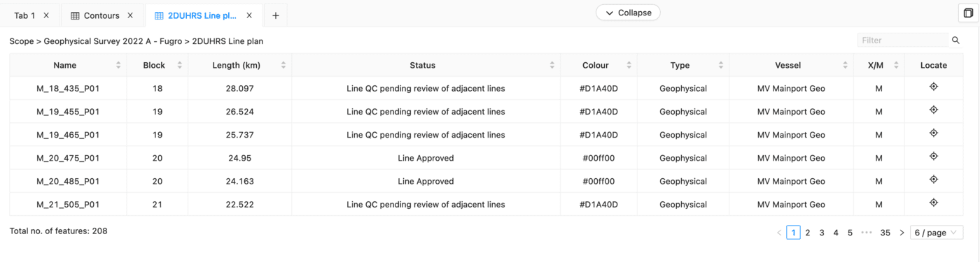
View attribute tablebutton for vector layers i.e. points, lines polygon layers.

This opens up the table in the Dashboard section. From here the the data can be inspected on a feature level, allowing searching of specific attributes, zooming to individual features or downloading of log files.
- A
Show bathymetry profilebutton for bathymetry or terrain layers, which opens up theDepth Profile Dashboardand allows you to create cross sections of the dataset along a line orAssetand compare bathy datasets.
